Geoscience & Engineering Services.
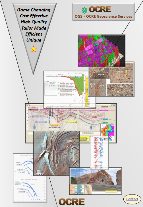
We are a global geoscience and engineering service company that focuses on renewables and new technologies. We provide a wide spectrum of services such as surface and subsurface geology, hydrology, CC(U)S, hazard mapping and pollution management.
Our team consist of multiple highly trained professionals that we like to call the ‘OCRE Geoscience Excellency Team’. These skilled and knowledgeable professionals are involved in a broad range of tasks, cases and projects.
Services >
clients >
OCRE GeoMap
GeoWonders, UNESCO Geoparks, Heritage Sites, Volcanoes, Craters, Great Caves, High peaks, special Landmarks, you can quickly find them on our map.
All these marvellous scenic pictures that circulate on the web, where are they exactly located? Most of the time that remains a mystery. Finally, a way to quickly locate them!
And what about checking during your holidays what great geologic sceneries can be visited nearby? Or maybe even plan your trip with the objective to visit some of them!

Download a free copy of our catalogue.

latest research >
Outcrop Fracture Modeling of Triassic Dolomites
Mapping and 3d modelling of the fracture network in Triassic dolomites outcropping along Wadi Bih (RAK, UAE). Application of the FMX and DMX protocols. Integration of remote sensing satellite Photography interpretation and integration with the...
Outcrop Fracture Modeling of Triassic Dolomites
Mapping and 3d modelling of the fracture network in Triassic dolomites outcropping along Wadi Bih (RAK, UAE). Application of the FMX and DMX protocols. Integration of remote sensing satellite Photography interpretation and integration with the...
Outcrop Fracture Modeling of Triassic Dolomites
Mapping and 3d modelling of the fracture network in Triassic dolomites outcropping along Wadi Bih (RAK, UAE). Application of the FMX and DMX protocols. Integration of remote sensing satellite Photography interpretation and integration with the...
New and improved Geoscience website
Hello and welcome to the new and improved OCRE Geoscience website! For the past weeks we have been working hard to create our new website. On this website you can read about the latest geoscience projects that include OCRE Geoscience's services....
New and improved Geoscience website
Hello and welcome to the new and improved OCRE Geoscience website! For the past weeks we have been working hard to create our new website. On this website you can read about the latest geoscience projects that include OCRE Geoscience's services....
New and improved Geoscience website
Hello and welcome to the new and improved OCRE Geoscience website! For the past weeks we have been working hard to create our new website. On this website you can read about the latest geoscience projects that include OCRE Geoscience's services....
latest research >
New and improved Geoscience website
Hello and welcome to the new and improved OCRE Geoscience website! For the past weeks we have been working hard to create our new website. On this website you can read about the latest geoscience projects that include OCRE Geoscience's services. Also you can read all...
